 The Six Great Crossings
 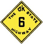 The Six Great Crossings
When one looks at the 1925 Oklahoma State Highway map, the relative arrangement of Routes 1 through 6 stands out as unique. Of course, they reflect the Oklahoma practice (still loosely followed today) of even numbered highways running north-south and odd numbers running east-west, but the first six routes reflect even more order than this. Indeed, among the original 29 state highways, these are the only six that reflect a gridded numbering system similar to the US highways (and yes, even Interstates) that came later. Route 1, Route 3, and Route 5 are a northern, central, and southern crossing of the state, respectively. Likewise, Route 2, Route 4, and Route 6 increase in number from west to east, though they are perhaps not as equally spaced as the east-west crossings. Several of these six highways followed roughly along previously established "named" travel corridors, which perhaps explains the circuitous routes or their spacing, but also explains why they were chosen to be among the most preeminent of the state's highways. These six routes also offer the perfect example of why the numbering system was revised substantially in 1930, as will be apparent when viewing the paths of the north-south crossings in particular. The elegance of this systematic numbering was rendered effectively obsolete after only two years with the coming of the US Highway system, but with the information below, we can still enjoy using the simplicity of the original numbering if we so choose.
Route 1 - The northern crossing
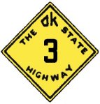 Route 3 - The California Road
 Route 4 - The central bisector
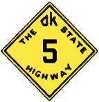 Route 5 - The southern crossing
Back to 1925 State Routes Overview
Back to Main Page
Base Map Data Copyright DeLorme USA, http://www.delorme.com
State Highway Shields created by Ken Parker of Oklahoma Bridge & Highways Group.
